


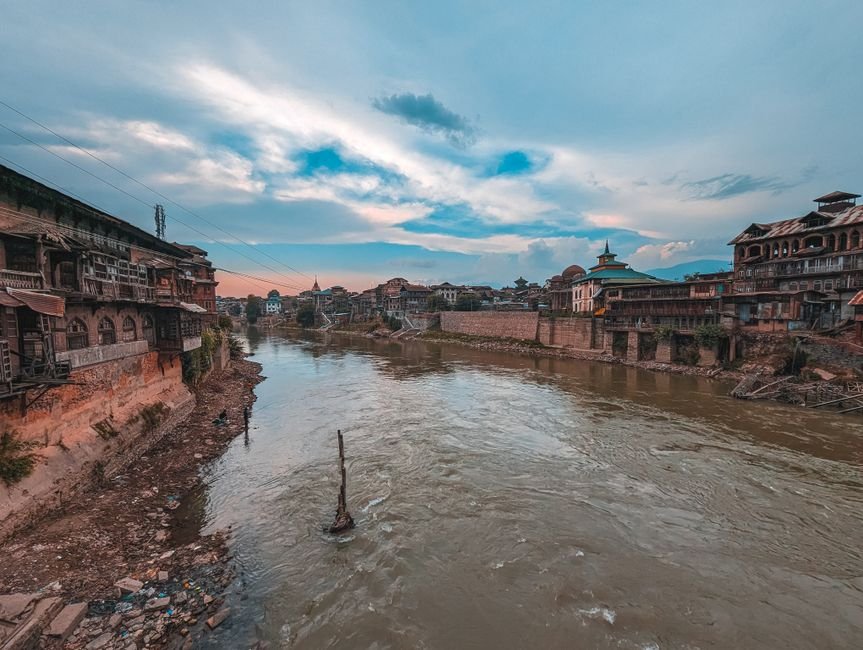
SRINAGAR: Following significant rainfall across the Kashmir Valley, water levels in the River Jhelum have steadily increased, prompting flood control authorities to maintain a heightened state of vigilance. Despite the rising waters, the river remained below the danger mark at all key monitoring stations as of Thursday evening.
Information was available with The Chenab Times indicating that the Irrigation and Flood Control Department recorded the highest water level at Sangam at approximately 5 pm on Thursday, reaching 19.5 feet. This is considerably below the danger level set at 25 feet.
In Srinagar, the Ram Munshibagh station registered a water level of 17 feet around 5 pm, also remaining beneath the danger threshold of 21 feet. Further downstream, the Asham gauge station reported a water level of 10 feet at the same time, well within the safe limit of 16.5 feet.
Data from the department’s hydrograph highlighted a notable surge at Sangam, particularly from late Wednesday night into Thursday morning. The river’s water level continued its upward trajectory throughout Thursday, with similar, though more gradual, increases observed at Ram Munshibagh and Asham.
Officials have attributed the rise in water levels to the persistent rainfall and the influx of runoff from the upper catchment areas of the river. While no official flood alert has been issued for the Jhelum, authorities have emphasized that the situation is under continuous round-the-clock monitoring. Residents residing in low-lying areas and along the riverbanks have been advised to exercise caution and remain alert due to the ongoing wet weather spell.
The Irrigation and Flood Control Department’s proactive monitoring system is designed to provide early warnings in case of any potential flood situation. The department utilizes a network of gauge stations strategically located along the river to track water levels and flow rates. These stations provide crucial real-time data that helps in assessing the river’s behavior during periods of heavy precipitation.
The recent rainfall has been widespread across the valley, affecting various districts and contributing to the increased water accumulation in the Jhelum. The department’s meteorological and hydrological experts are closely analyzing weather patterns and their potential impact on river systems. The consistent monitoring aims to ensure timely intervention and management of resources to mitigate any potential risks to life and property.
In addition to monitoring the Jhelum, flood control authorities also keep a watchful eye on other water bodies and tributaries within the Kashmir region. This comprehensive approach ensures a holistic understanding of the hydrological situation across the valley, allowing for a more coordinated response to natural challenges.
The advisories issued to the public are a standard precautionary measure during monsoon seasons or periods of intense rainfall. These advisories typically include information on safe evacuation routes, emergency contact numbers, and guidelines for securing property in flood-prone areas. The cooperation of local communities in adhering to these advisories is considered vital for effective disaster preparedness.


The Chenab Times News Desk