


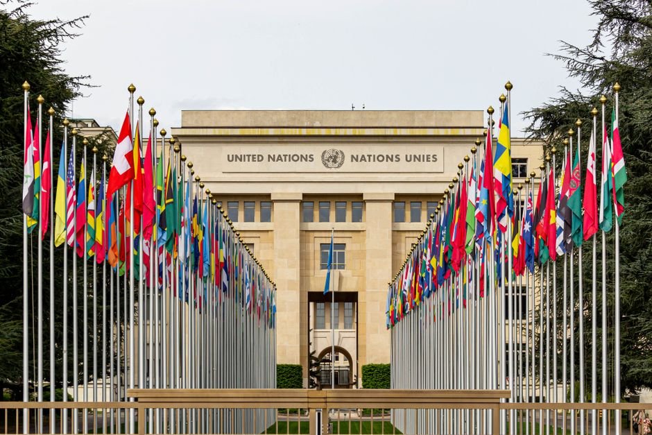
The United Nations General Assembly is scheduled to vote on a resolution that could lead to the widespread adoption of world map projections that more accurately represent the true size of continents, particularly Africa. The initiative, spearheaded by Togo and supported by all 54 African Union member states, aims to move away from the widely used Mercator projection, which critics argue disproportionately enlarges landmasses farther from the equator while diminishing those closer to it.
Information available with The Chenab Times indicates that the draft resolution encourages governments, educational institutions, international organizations, and technology companies to utilize equal-area map projections, such as the 2018 Equal Earth projection, in scenarios where continental size is relevant. While the resolution does not seek to ban the Mercator projection, it advocates for establishing proportionally accurate maps as a new global standard.
The Mercator projection, first devised by Flemish cartographer Gerardus Mercator in 1569 as a navigational tool, has been the global standard for centuries. However, its method of flattening a spherical Earth onto a rectangular surface results in significant distortion, particularly at higher latitudes. This distortion causes regions like Europe and North America to appear much larger in relation to equatorial continents such as Africa. For instance, Africa, which is 14 times larger than Greenland, is often depicted as being of similar size on Mercator maps.
Proponents of the resolution argue that the visual underrepresentation of Africa and other equatorial regions has contributed to historical biases and a skewed global perception of these areas. They contend that adopting equal-area maps will provide a more accurate basis for education and public understanding, reflecting Africa’s actual demographic, economic, and geopolitical significance. The campaign, which has gained momentum under the hashtag #CorrectTheMap, has been endorsed by the African Union since August 2025.
Robert Dussey, Togo’s Minister of Foreign Affairs, has emphasized that the discussion is scientific rather than political, stating that there is scientific proof supporting the need for a more accurate representation of the world’s landmasses. He highlighted that this initiative is not solely a Togolese effort but represents a continental aspiration for fair representation on the global stage. The resolution’s passage is seen by some as a step towards greater influence for African nations within international institutions and a reclamation of how the continent is visually portrayed.
The diplomatic effort builds upon the #CorrectTheMap campaign, which has garnered considerable support, including a petition on Change.org with thousands of signatures. Similar to a previous African Union-backed resolution in March that described the transatlantic slave trade as the “gravest crime against humanity,” proponents are hopeful for a favorable outcome at the UN General Assembly. Togo is reportedly planning an event in Lomé, its capital, in the first quarter of next year, in collaboration with UNESCO and the African Union, to discuss the implementation of the resolution with technology firms such as Google Maps.
While UN resolutions are typically non-enforceable, a successful vote could significantly influence educational curricula, technological platforms, and general public perception worldwide. Experts note that all flat-world map projections involve some form of distortion, but equal-area maps, like the Equal Earth projection, prioritize the accurate representation of landmass size over other navigational or geometric properties. The debate underscores a broader international discussion about representation, historical legacies, and the power of visual information in shaping global understanding.

Global Affairs Desk at The Chenab Times covers international developments, global diplomacy, and foreign policy issues through fact-based reporting, explainers, and analytical pieces. The desk focuses on major geopolitical events, diplomatic engagements, and international trends, with an emphasis on verified information, multiple perspectives, and contextual understanding of global affairs.