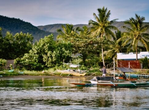
Tropical Storm Moke is making its way across the Pacific, bringing significant rainfall and gusty winds to Hawaii, particularly impacting the Big Island. Forecasters predict heavy downpours and strong winds will begin impacting the island on Sunday, with potential for life-threatening flooding and mudslides in vulnerable areas. This comes just days after the region was battered by Hurricane Lala, leaving saturated ground more susceptible to the effects of Moke.
Information available with The Chenab Times indicates that as of Saturday evening, Tropical Storm Moke was located approximately 330 miles south-southeast of Hilo, Hawaii, moving west at about 12 mph. Maximum sustained winds were reported near 45 mph, with higher gusts. While the storm’s center is expected to pass south of the Big Island on Sunday and well south of the smaller Hawaiian Islands early next week, its proximity is enough to cause considerable weather impacts.
The National Hurricane Center and the Central Pacific Hurricane Center have issued advisories detailing the expected hazards. Rainfall totals for the Big Island are forecast to range from 5 to 10 inches, with isolated areas potentially receiving up to 15 inches. These significant amounts of rain, especially on the windward and southeast sides of the island, raise concerns for flooding and mudslides, particularly in steep terrain and regions previously affected by Hurricane Lala. Eastern Maui could see between 3 to 6 inches of rain, while the rest of the Hawaiian Islands are expected to receive generally 1 to 2 inches.
Gusty winds are also anticipated across the Hawaiian Islands, especially in areas of higher terrain. While the most powerful winds of Moke are expected to remain south of the islands, enhanced trade winds, a result of the pressure gradient created by the storm’s passage, could bring sustained winds of 25 to 30 mph with gusts of 40 to 50 mph to exposed locations. The County of Hawaiʻi has taken precautionary measures, including opening shelters for residents in flood-prone areas. Officials are urging those living in at-risk zones to relocate to safer locations before storm conditions worsen.
The storm’s track suggests a general west-northwestward motion will continue for several days, steered by a strong ridge to the north. This trajectory will keep the storm’s center south of the Big Island on Sunday and further away from the other main Hawaiian Islands in the early part of the following week. Forecasters anticipate a gradual weakening trend for Moke beginning Sunday, as it moves into an increasingly dry and stable environment. However, the immediate threat of heavy rain and gusty winds remains significant for the Hawaiian Islands.
The National Weather Service has emphasized the danger posed by the rainfall, particularly given the saturated ground conditions left by Hurricane Lala. This recent weather event has heightened the risk of flash flooding, debris, downed trees, and power outages. Local authorities are closely monitoring the situation and have advised residents to prepare by reviewing emergency plans and ensuring they have adequate supplies. Hawaiian Electric has also urged customers to prepare and to monitor weather updates for any service disruptions.
While no coastal watches or warnings are currently in effect for Moke, interests throughout the Hawaiian Islands are being advised to closely monitor the progress of the system. The storm’s swells are also expected to affect exposed east and south-facing shores of the Hawaiian Islands over the next few days, potentially causing hazardous surf and rip current conditions. The combination of heavy rainfall, gusty winds, and elevated surf presents a multifaceted threat to the islands.
The storm, with maximum sustained winds of 45 mph, has shown some slight weakening in the past day, a trend that is forecast to continue. However, the immediate impact on the Big Island is expected to be substantial, with forecasters urging caution and preparedness from residents. The potential for destructive flooding and landslides remains a primary concern, especially given the recent history of severe weather.
❤️ Support Independent Journalism
Your contribution keeps our reporting free, fearless, and accessible to everyone.
Or make a one-time donation
Secure via Razorpay • 12 monthly payments • Cancel anytime before next cycle


(We don't allow anyone to copy content. For Copyright or Use of Content related questions, visit here.)

Global Affairs Desk at The Chenab Times covers international developments, global diplomacy, and foreign policy issues through fact-based reporting, explainers, and analytical pieces. The desk focuses on major geopolitical events, diplomatic engagements, and international trends, with an emphasis on verified information, multiple perspectives, and contextual understanding of global affairs.